Cheyenne
Moderator
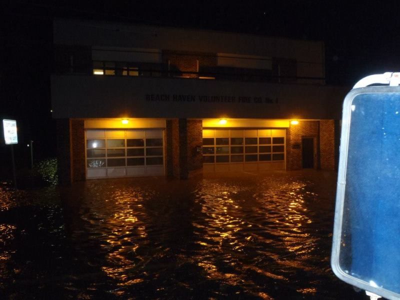
Had to go to work yesterday to set up the middle school as an evacuation center .
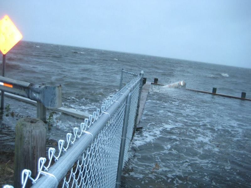
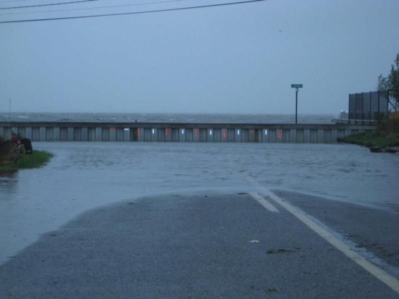
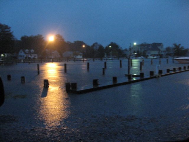
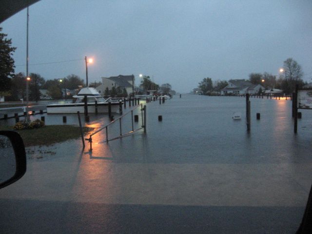
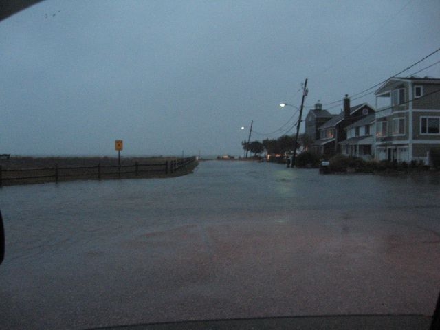
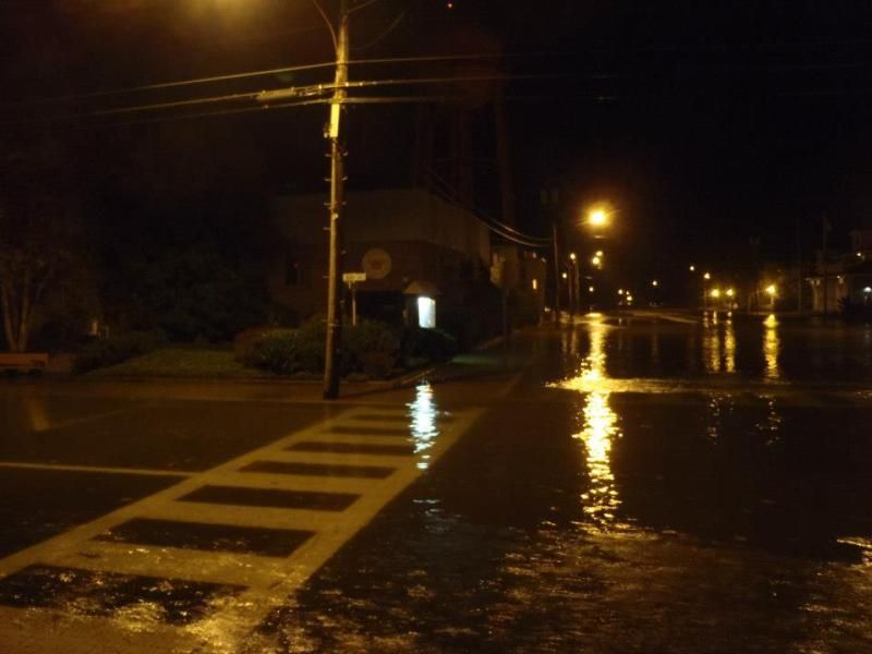
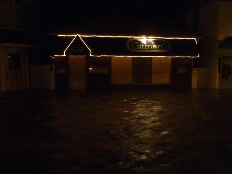
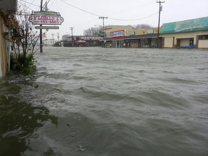
Neighbors took these pics. yesterday [ Sunday 10/29 early am prior to high tide ] these photos are just down the street from me .
In the photos your seeing , the Atlantic is usually 2 - 3 feet lower than the water levels your looking at , ..... and this was yesterday .
The hurricane path models show this hurricane hitting us square on the jaw , supposedly we're ground zero .
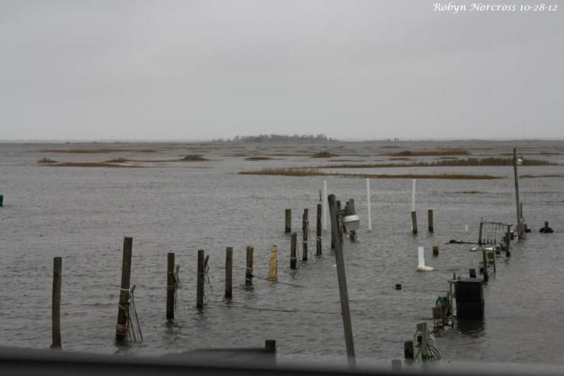
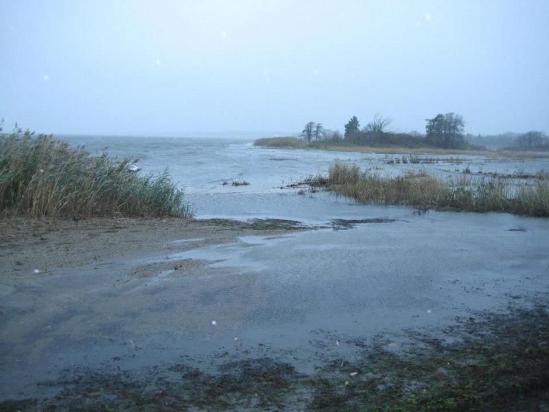

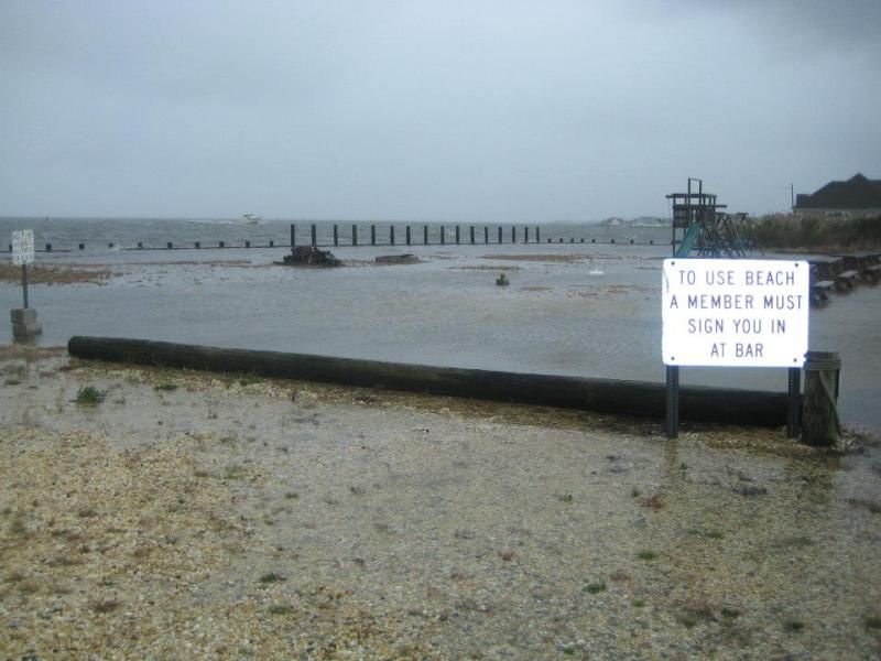
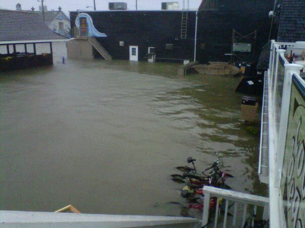
Bay beach , usually the distance from the lifeguard chair to the water is 30 - 40 yards .
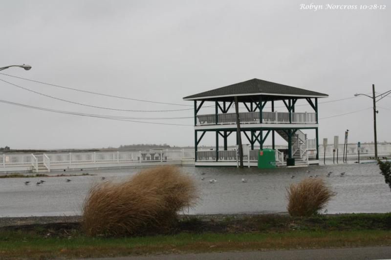
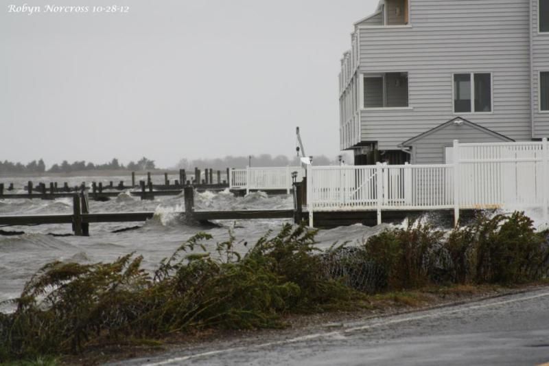
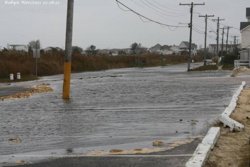
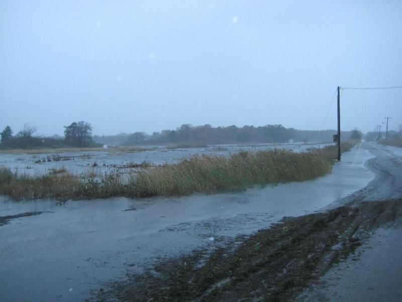
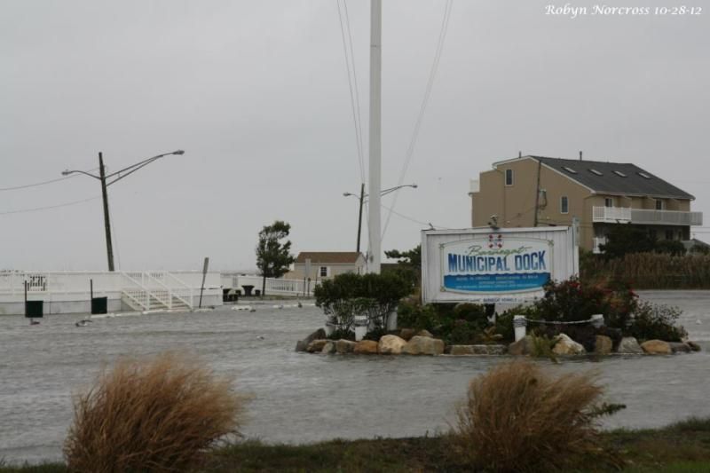
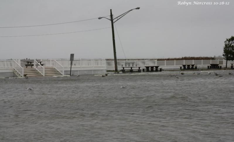
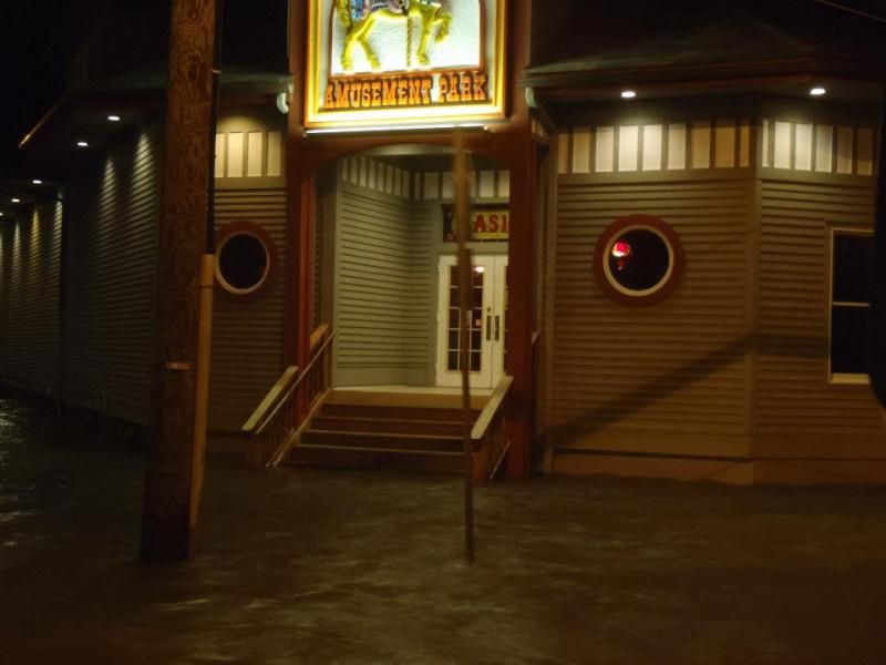
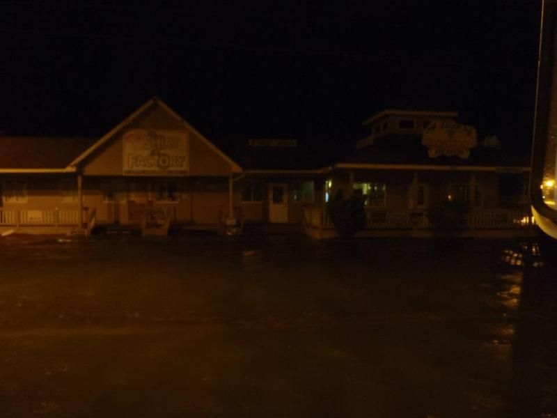
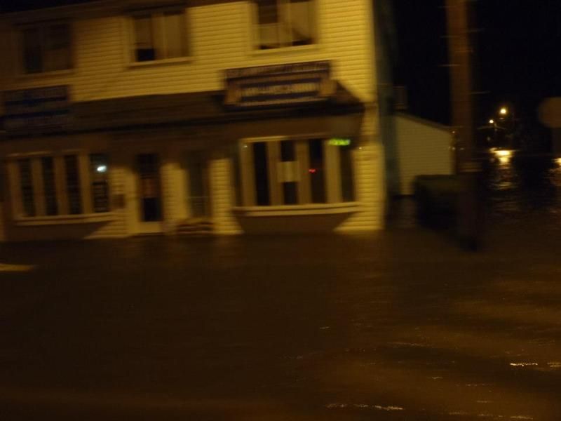
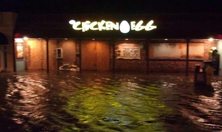
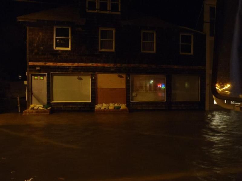
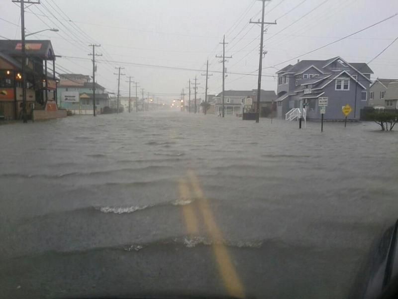
Neighbors took these pics. yesterday [ Sunday 10/29 early am prior to high tide ] these photos are just down the street from me .
In the photos your seeing , the Atlantic is usually 2 - 3 feet lower than the water levels your looking at , ..... and this was yesterday .
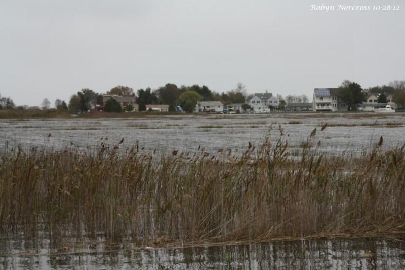
The hurricane path models show this hurricane hitting us square on the jaw , supposedly we're ground zero .
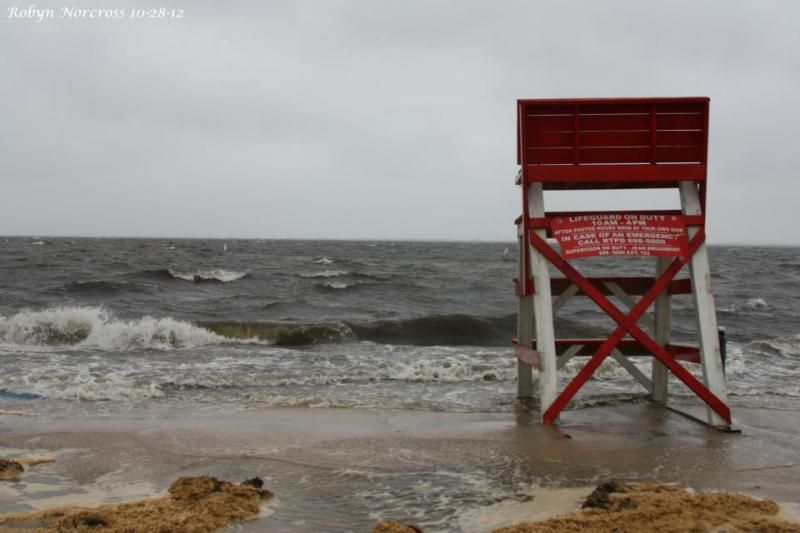
Bay beach , usually the distance from the lifeguard chair to the water is 30 - 40 yards .

 hmy:
hmy: