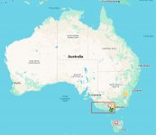
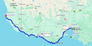
Hey you guys, thanks for the replies /feedback. I thought you would probably find it interesting - I always love seeing places that I haven't been to.
I will post a few more from tjhis trip and possibly some from the other trip in 2024, to Tasmasnia, a few months before this one[which was in November).
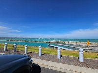
Where is the dock/pier in picture #6?
This pier is in Beachport SA (south Aust.) and is 800m long (nearly 1 km. We will be going back here to see if we can catch some salmon off the end. Here are a few more from the same place.
Is that an Aussie lighthouse in picture #7?
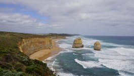
Yeah, a very old one from the late 19th century. We were going to stay the night there but we couldn't book it because a recent storm had caused a mercury leak from the battery for the light and they were still fixing it. Its located on the very end of Cape Otway between Apollo Bay and the rock formations called the 12 Apostles that I showed above - here are a few more
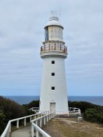
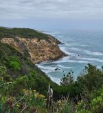
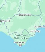
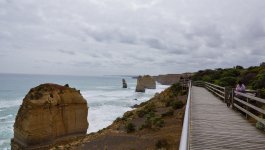
More input!
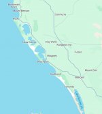
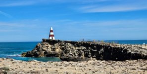
I found the jetty and the obelisk. Then the very unusual Robe Lighthouse too.
"Robe" like bathrobe? or "Ro-Bee"?
Robe is pronounced Robe as in bathrobe.
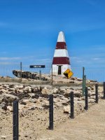
This one was a bit wierd and funny - a typical Australian humour thing so you guys may not get it. This guy is called 'Murray the Skeleton'
and is proppoed on the side of the Hwy in the middle of nowhere between Robe and Cape Jaffa. I think he is 'managed' by a local farmer but he is dressed up in different costumes during the year depending on what is significant - we were there a little while after Halloween, so he was dressed as Freddy Kruger. You can donate to the local emergency services by putting some coins in the bowl.

He can actually be found as a tourist landmark, which is how i discovered him.
A guy drives 9 1/2 hours to go on holiday and his geeky friends won't leave him be.

My Apologies.

Thats fine, the trip was last November.
Here are a few others........
The borders between states in Australia are a long way away from each other so when you cross one its a bit of a big deal on holidays

. Here is the southern border between SA and Victoria. I stopped and took a photo at the intersection as it was in the middle of nowwhere. The road leading back to the camera, runs right along the border (it is the border actually) for a long way north. If I cross the road I am back in Victoria.
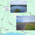
The next pic is from Blue Lake at Mount Gambier. It is a very old volcanic crater that is literally on the edge of town and is only blue in color during a short period each year (we were ther at the right time).
and this was a waterfall back inland in Victoria on the way home. I remember this was a really hot day being about 42C (107.6 F)
